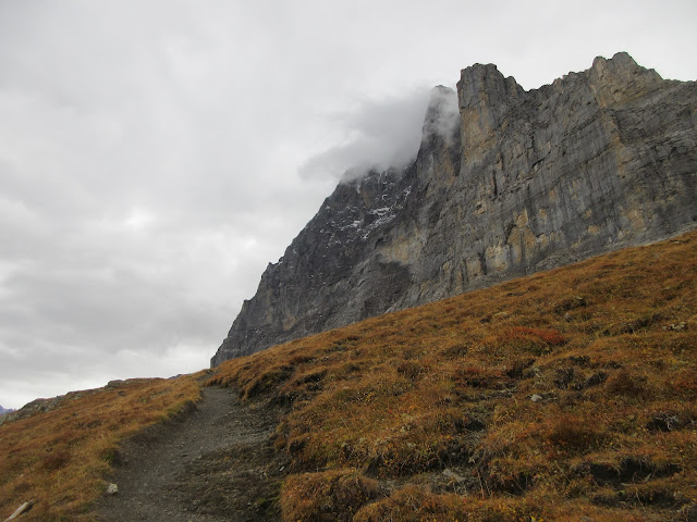
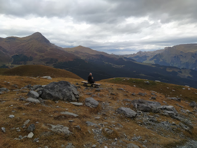
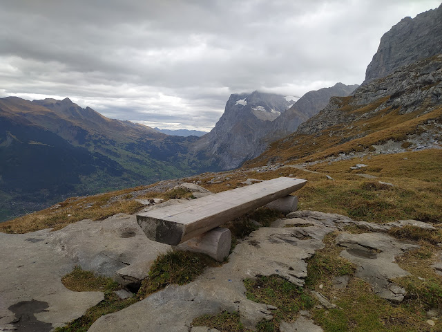
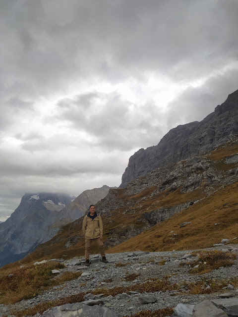
The Eiger Trail was one of the hikes I included in my itinerary during my stay in Switzerland. The hike offered spectacular views of the Eiger North Face and the landscape.
You can consider adding this day hike if ever you visit the country.
Guide to the Eiger Trail
I was eager to do the Eiger Trail when I saw and read about it online. The route takes you up close to the famous and stunning North Face. I don't have enough experience to scale it, but many other hikers have climbed the North Face. However, this trip was all about the through hike to Alpiglen. On average, it takes two to three hours to finish the route. It could take longer or faster depending on your fitness level and if you don't stop to eat or take hundreds of photos along the way.
How to Get to the Eiger Trail
For this hike, your starting point is the Eigergletscher Station. This is the recommended route so that you'll do more descending than hiking up. I was staying somewhere in Grindelwald when I did this hike. I took the direct cable car to Eigergletscher Station. If I remembered correctly, the ride up took around 15 minutes one way. The views on the way up were spectacular (which is a common thing when I did the other hikes during my trip).
The fare to Eigergletscher, then from Alpiglen to Grund cost me around CHF (Swiss Francs) 22.50. I used a Swiss Half Fare Card for this leg of my trip. The usual fare is around CHF 45.
I would recommend buying a Swiss Half Fare Card, you can do so here: Swiss Half Fare Card
The trail isn't open all year, you'll have to check the schedules. I did the hike towards the end of the hiking season.
You can check operating times of the Eiger Express here: https://www.jungfrau.ch/en-gb/live/operating-info/
You'll most likely run into a lot of people on this ride because it's on the way to the Top of Europe. However, once you start the trail, they'll be fewer people doing the hike.
The Trail
After you alight from the cable car, make your way outside. You'll then see signs pointing you towards the start of the trail. Once I found the route, I was on my way.
The first few kilometers of the trail were mostly flat and rocky. It didn't take long before I saw the North Face. Simply put it was a stunning sight to behold. After taking several photos I was on my way again. I ran into a few people doing the hike.
The last leg of the trail was difficult in my opinion. It was a steep downhill hike that tested my leg muscles (it hurt for a few days). You'll need to be moderately fit for this hike, just my two cents. Overall, I'd recommend this trail if you have the time and is interested in hiking.
You might want to do some of the other hikes I did in the Jungfrau region:
- Männlichen to Kleine Scheidegg Trail
- Schynige Platte
- Grütschalp, Mürren, and Gimmelwald Trail
- Bachalpsee
- Budget and itinerary for Zurich


No comments:
Post a Comment